At what point do they close Snake Pass permanently?
Discussion
If you know the Peak nearby is the abandoned road from Castleton upto Mam Tor.
Yet another closure:
https://m.facebook.com/story.php?story_fbid=pfbid0...
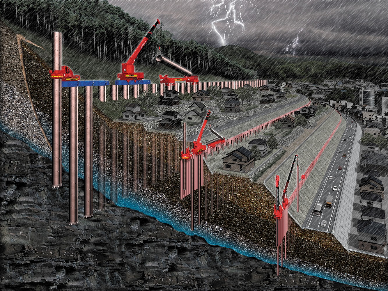
At what point do they either dig deep and relay properly with deep foundations or make it two ends (no through road). There's at least three parts that are continously moving and when hard ground frost comes..
Yet another closure:
https://m.facebook.com/story.php?story_fbid=pfbid0...
At what point do they either dig deep and relay properly with deep foundations or make it two ends (no through road). There's at least three parts that are continously moving and when hard ground frost comes..
Hugo Stiglitz said:
If you know the Peak nearby is the abandoned road from Castleton upto Mam Tor.
Yet another closure:
https://m.facebook.com/story.php?story_fbid=pfbid0...
At what point do they either dig deep and relay properly with deep foundations or make it two ends (no through road). There's at least three parts that are continously moving and when hard ground frost comes..
Well written post by the council. Nice to see plain English....Yet another closure:
https://m.facebook.com/story.php?story_fbid=pfbid0...
At what point do they either dig deep and relay properly with deep foundations or make it two ends (no through road). There's at least three parts that are continously moving and when hard ground frost comes..
vaud said:
Hugo Stiglitz said:
If you know the Peak nearby is the abandoned road from Castleton upto Mam Tor.
Yet another closure:
https://m.facebook.com/story.php?story_fbid=pfbid0...
At what point do they either dig deep and relay properly with deep foundations or make it two ends (no through road). There's at least three parts that are continously moving and when hard ground frost comes..
Well written post by the council. Nice to see plain English....Yet another closure:
https://m.facebook.com/story.php?story_fbid=pfbid0...
At what point do they either dig deep and relay properly with deep foundations or make it two ends (no through road). There's at least three parts that are continously moving and when hard ground frost comes..
There is absolutely no way they will ever close the Snake pass.
The road at Castleton next to The Blue John mine is different because the side of Mam Tor actually collapsed big style, however there is an easy alternative via nearby Winnats pass,
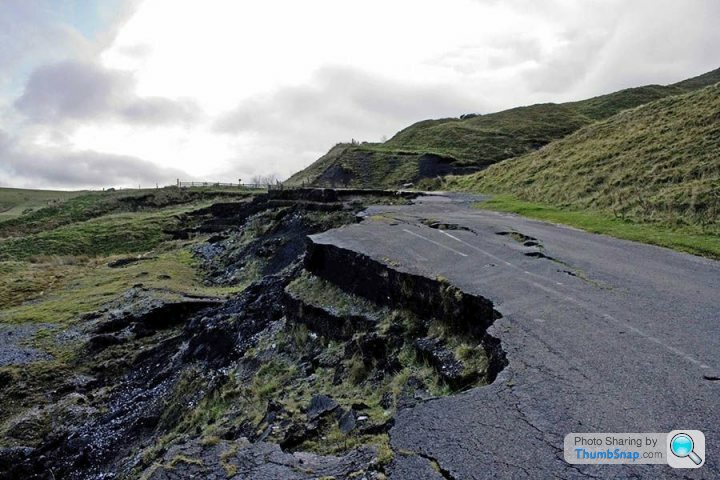
I drove down the Mam Tor road many times in the 1970's before the closure when it was in good condition.
The road at Castleton next to The Blue John mine is different because the side of Mam Tor actually collapsed big style, however there is an easy alternative via nearby Winnats pass,

I drove down the Mam Tor road many times in the 1970's before the closure when it was in good condition.
They keep instigating repairs on the cheap.
The only way that they can properly repair for a longterm solution would be to cut out, foundation rods inserted and at numerous points along Snake.
With the coming winter and probable government spending cuts to come I can't see this happening.
Someone's going to get hurt. Beit in a car or more likely a motorbike. With the tilt in surface etc
The traffic lights round a blind bend etc system didn't work either. Especially when people still do 50 until they realise there's a line of stationary cars.
Edited by Hugo Stiglitz on Thursday 18th August 13:17
Hugo Stiglitz said:
They keep instigating repairs on the cheap.
The only way that they can properly repair for a longterm solution would be to cut out, foundation rods inserted and at numerous points along Snake.
Maybe, maybe not. Are you in a qualified position to say that would be the way to "fix" it?The only way that they can properly repair for a longterm solution would be to cut out, foundation rods inserted and at numerous points along Snake.
300bhp/ton said:
Hugo Stiglitz said:
They keep instigating repairs on the cheap.
The only way that they can properly repair for a longterm solution would be to cut out, foundation rods inserted and at numerous points along Snake.
Maybe, maybe not. Are you in a qualified position to say that would be the way to "fix" it?The only way that they can properly repair for a longterm solution would be to cut out, foundation rods inserted and at numerous points along Snake.
I love(d) this road.
I grew up in Sheffield. We had a game that you left the top of the Pass to come back to Ladybower and you ragged your car as fast as possible until the Snake Inn. Momentum only after that, clutch in Neutral. Colins XR3i made it to Ladybower Bridger with three of us jumping out and running pushing the car about two miles after Snake Inn and ironically just after the Alport River passed under the road.
In the 1990s I commuted from Sheffield to Salford daily, in an 1100cc Fiesta. It was so easy to overtake slower vehicles once you knew the sightlines both after Glossop golf course and on the descent past Alport which was a good place to get past five or six cars obviously not overtaking. bit of hanging back and slingshotting out the bends when you could see the road was clear.....
Did get stopped once though...by the 80 ft deep snowdrifts 1 mile West of the Snake Inn.
However, not surprised this is happening, the whole route is built on "fluid" shale. That bouncy bit that has been getting worse since the 1980s between Snake Inn and Alport.......geologists knew this..Alport is the biggest mainland landslip in the UK. (Above nearby Whaley Bridge is another land slipping hill...which may end up in a rebuilt Toddbrook reservoir).
https://en.wikipedia.org/wiki/Alport_Castles
The Mam Tor route was similar, unstable soft ground is easy to build a road on until the weight of the road collapses it! Anything north of the Peak Forrest Road (A627) has these problems.
So you are left with Woodhead Pass and the suicide lanes of Stocksbridge Bypass. I lost three friends in two different accidents on there (none fault to the dead, wrong time, wrong place).
M67 -Mottram Bypass - Woodhead - M1 via the unused Woodhead tunnel seems a major but forgotten UK road scheme.
Wacky Racer said:
There is absolutely no way they will ever close the Snake pass.
The road at Castleton next to The Blue John mine is different because the side of Mam Tor actually collapsed big style, however there is an easy alternative via nearby Winnats pass,

I drove down the Mam Tor road many times in the 1970's before the closure when it was in good condition.
Winnats Pass is a good call, “accidentally” stumbled upon it after visiting Odin Mine last year. The road at Castleton next to The Blue John mine is different because the side of Mam Tor actually collapsed big style, however there is an easy alternative via nearby Winnats pass,

I drove down the Mam Tor road many times in the 1970's before the closure when it was in good condition.

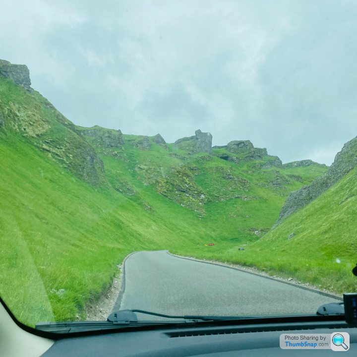
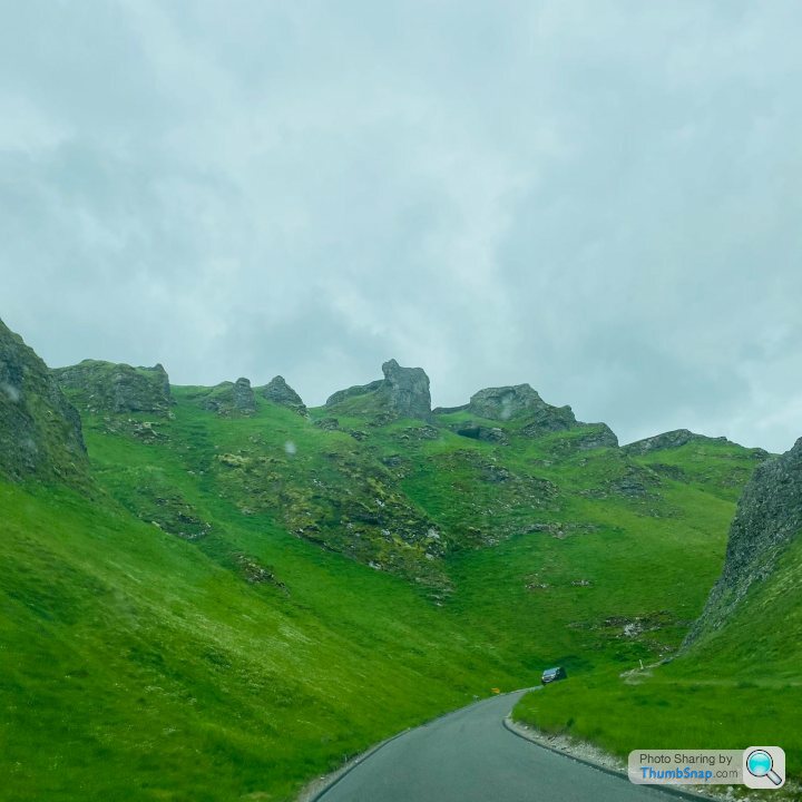
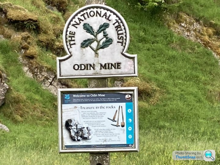
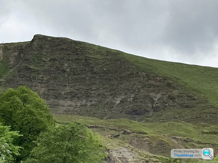
I grew up in Sheffield and remember going over the old road that landslipped away, down into second gear for the hairpin in an A35 and if you were lucky you'd just about get around and keep going.
"Winnets Pass" even when the old A625 was available before the landslip you'd avoid Winnets as 'Winnets' were a slang for haemorrhoids. "Hi John, I'm going to have to dock your pay this morning as you were forty minutes in the Loo". "Boss please don't, I've got Winnets and they wouldn't let the Bismarck Pass".
"Winnets Pass" even when the old A625 was available before the landslip you'd avoid Winnets as 'Winnets' were a slang for haemorrhoids. "Hi John, I'm going to have to dock your pay this morning as you were forty minutes in the Loo". "Boss please don't, I've got Winnets and they wouldn't let the Bismarck Pass".
Wacky Racer said:
There is absolutely no way they will ever close the Snake pass.
The road at Castleton next to The Blue John mine is different because the side of Mam Tor actually collapsed big style, however there is an easy alternative via nearby Winnats pass,

I drove down the Mam Tor road many times in the 1970's before the closure when it was in good condition.
I went there for a geology field trip in 2006, and while there we met 2 other colleges doing the same thing! The road at Castleton next to The Blue John mine is different because the side of Mam Tor actually collapsed big style, however there is an easy alternative via nearby Winnats pass,

I drove down the Mam Tor road many times in the 1970's before the closure when it was in good condition.
Seems a popular spot for it - and an absolutely fascinating place to walk around.
Gassing Station | Roads | Top of Page | What's New | My Stuff


