Strangest old main road that now isn’t
Discussion
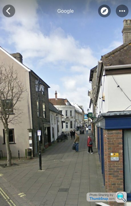
I’ve been reading a thread on another part of Pistonheads & it got me thinking.
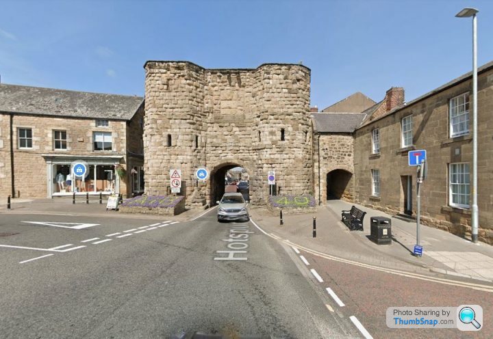
The photo above is in the centre of Bury St. Edmunds Suffolk.
The road is obviously now pedestrianised but used to be the A45 which is now the A14 ie the route to Felixstowe, a massive container port.
I remember being on a double decker bus waiting to get through this tiny road.
Who else wonders sometimes how we used to get to our destination…
By the same token, this little cycle lane was the A14 a little further along until a little over 10 years ago.
https://goo.gl/maps/tZoCZPMw7ceTa9FU8
https://goo.gl/maps/tZoCZPMw7ceTa9FU8
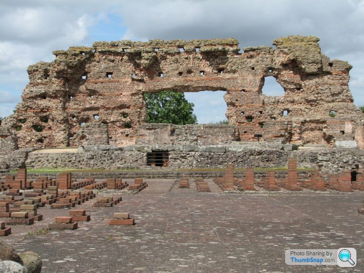
Along the route of the the Roman Road Ermine Street, at Kexby (East Yorkshire) there was a ferry until around 1420 when a bridge was built. This one was built upon the same bridge in the 1650's and 1700s. Until the road was re-routed in the 1960's.
As well as the Roman route, this was the main York to Hull road.
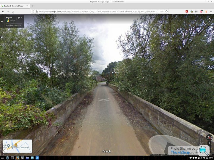
As well as the Roman route, this was the main York to Hull road.

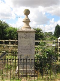
I wouldn't say it's "strange" but below is the old Fosse Way Roman road at Sharnford. In it's day this was a motorway for the Roman army, trade and citizens. Long since bypassed so that the main road goes via the nearby Sharnford the old Roman road is now still straight as a die but just a farm track.
So many Roman roads are now beneath A or M roads it's nice to see and walk on stretches that are accessible, there are lots of them around.
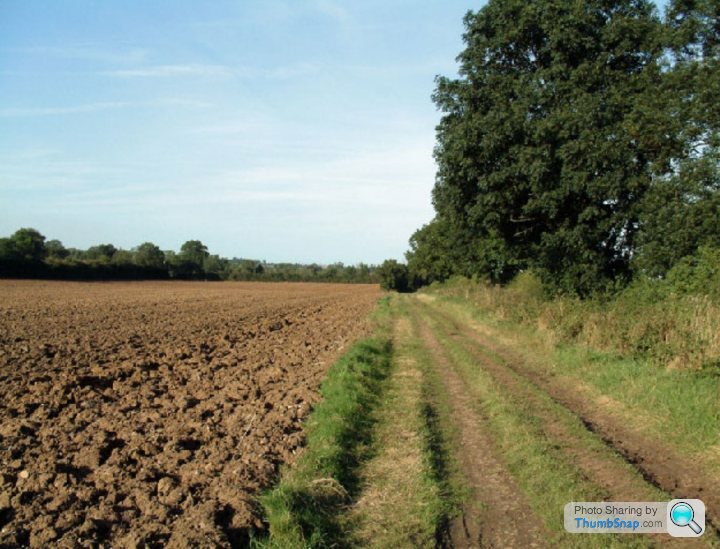
So many Roman roads are now beneath A or M roads it's nice to see and walk on stretches that are accessible, there are lots of them around.

Writhing said:
Hawkins chippy on the left of that pic. Halfords on the right.
Halfords was where Superdrug is.the building on the right was Mill House fabics in the 70s and 80s; Then a health food shop next door and further, on the corner was Burtons.
I remember the chip shop on the left.
Bus terminus was behind the photographer.
I was in Alicante recently and our hotel was just off a road called Calle Mayor, which my (much better at languages) partner informed me was the main road at some point. It was barely 3m apart in places and was entirely pedestrianised and full of on street dining. Crazy to think that something like that was the way you got through a settlement before we started bypassing places.
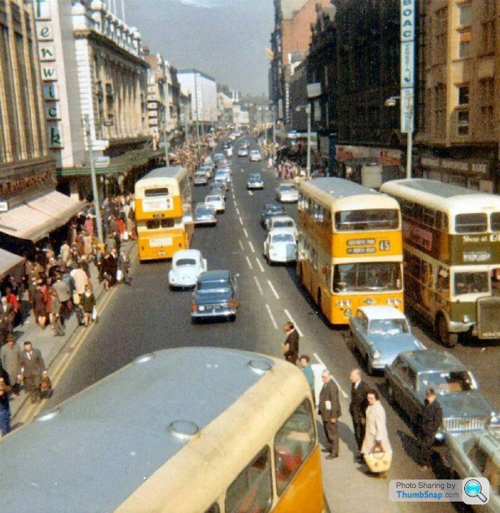
Canterbury High Street, once the A2 to Dover
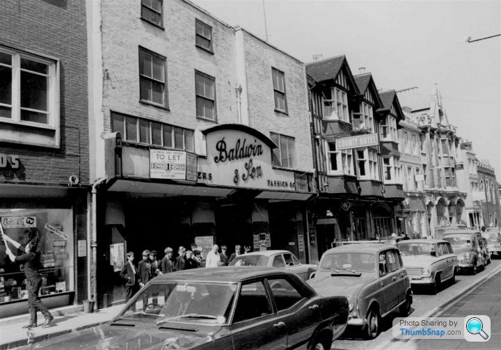
Hard to imagine now
https://www.google.co.uk/maps/@51.2794491,1.079291...
It wasn't closed till the 80s I believe, I knew someone who was involved at the time with the scheme and loads of people kicked up a right fuss when it was pedestrianised, nothing has really changed!

Hard to imagine now
https://www.google.co.uk/maps/@51.2794491,1.079291...
It wasn't closed till the 80s I believe, I knew someone who was involved at the time with the scheme and loads of people kicked up a right fuss when it was pedestrianised, nothing has really changed!
Talking of the A1, near Peterborough is Wansford a beautiful little village through which the A1 ran over a narrow single lane bridge crossing the river until in 1929 Wansford was bypassed when the new A1 and bridge carrying it was built.
The road through the village reverted to the original A6118 which was one of the shortest A roads in Britain until 2017 when its status was downgraded to unclassified.
The road through the village reverted to the original A6118 which was one of the shortest A roads in Britain until 2017 when its status was downgraded to unclassified.
Gassing Station | Roads | Top of Page | What's New | My Stuff


