Best nav app/ website for planning a road trip?
Discussion
I'm looking to take a day out going over to Wales, take in some good roads and scenery. What's the best nav app or website for planning the trip (google maps?), given I know roughly which route/ roads I want to take already, and I just want to plan those into a nav app so I don't have to go old school and look at a map every 5 mins! Thanks.
oh yeah, I'm not going now, I'm just planning it while I have time on my hands. (and a bit bored to be honest). Might be later in the year, might even be next year, who knows.
I roughly know where I want to go, just wasn't sure if using google maps was the best, or some other nav app was better.
I roughly know where I want to go, just wasn't sure if using google maps was the best, or some other nav app was better.
ARHarh said:
Which bit of Wales? I know mid and north wales pretty well
I was thinking (from the Midlands) of entering Wales via Shrewsbury, head west up towards Bala and through to near Porthmadog, up to Snowdonia / Llanberis, back East via Capel Curig, Evo Triangle etc.I've got a bit of a route mapped out, stealing from other threads on Wales, but wasn't sure of the best nav app to help me.
(and as I've said already, it's not to go imminently, I'm just planning ahead while I have time!).
heebeegeetee said:
I used to love the app Tyre, which is now defunct. Best trip/route planning by far imo.
Has anything replaced it or come near to?
The same people have developed a cloud based app Has anything replaced it or come near to?
myrouteapp.com
I use it to plan all our euro trip routes & export them to tomtom & garmin users.
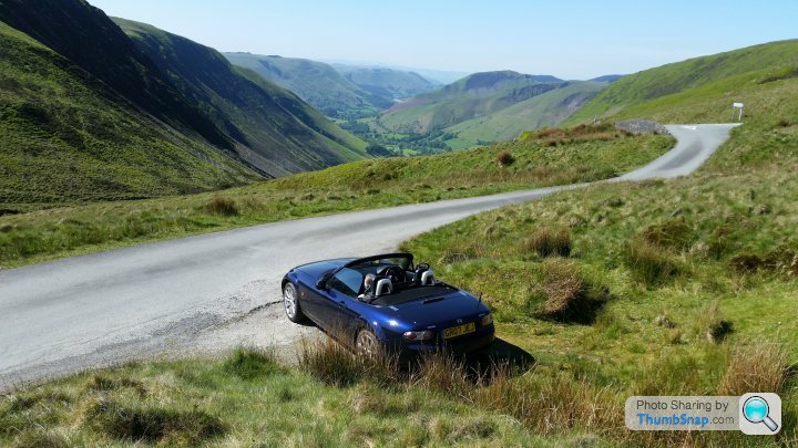
If you want some proper scenery try a ride over Bwlch y Groes. not a driving road as its windy and single track, but you cant beat the view.

It runs from the end of lake vyrnwy out to Bala Lake or dinas mawddwy. Both worth the drive unless you have a nervous passenger. The highest paved road in north wales.
If driving up past Shrewsbury on to Bala via Knockin you will drive past my house so keep the noise down

It runs from the end of lake vyrnwy out to Bala Lake or dinas mawddwy. Both worth the drive unless you have a nervous passenger. The highest paved road in north wales.
If driving up past Shrewsbury on to Bala via Knockin you will drive past my house so keep the noise down

https://mydrive.tomtom.com allows you to create routes in the browser and allows importing of GPX routes which then can be synced to the Tomtom Go app.
ITNconverter lets you plan using Google maps info online and then generate a tomtom .itn or garmin gpx file
http://www.benichou-software.com/index.php?option=...
http://www.benichou-software.com/index.php?option=...
bungle said:
I was thinking (from the Midlands) of entering Wales via Shrewsbury, head west up towards Bala and through to near Porthmadog, up to Snowdonia / Llanberis, back East via Capel Curig, Evo Triangle etc.
I've got a bit of a route mapped out, stealing from other threads on Wales, but wasn't sure of the best nav app to help me.
(and as I've said already, it's not to go imminently, I'm just planning ahead while I have time!).
have a look at this if you've not seen it already https://slapadventures.com/wp-content/uploads/2017...I've got a bit of a route mapped out, stealing from other threads on Wales, but wasn't sure of the best nav app to help me.
(and as I've said already, it's not to go imminently, I'm just planning ahead while I have time!).
heebeegeetee said:
I used to love the app Tyre, which is now defunct. Best trip/route planning by far imo.
Has anything replaced it or come near to?
TYRE has been superseded by MyRouteApp but older versions of TYRE are still readily available for download.Has anything replaced it or come near to?
As above ITNConverter doesn't have all of the features of TYRE (cut/paste waypoints, mark waypoints as destinations) but is actually much nicer to use than TYRE which in its most recent versions became buggy bloatware.
Note that these programs no longer support Google Maps but with ITNConverter you get to select from a choice of open-source maps.
Gassing Station | Roads | Top of Page | What's New | My Stuff


